QLD 6661 Supply
- Estimated Delivery : Up to 4 business days
- Free Shipping & Returns : On all orders over $200
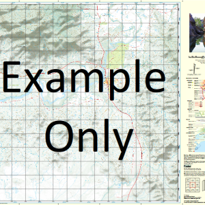
This Topographic Map is produced by the Department of Natural Resources and Mines (DNRM), part of the Queensland Government.
This product is continously updated with the latest information available. New editions are generally published in Oct Nov each year, however minor updates are constantly being included.
DNRM maps are produced automatically by computers, with minimal human oversight; so some duplication of information and occasional minor cartographic inconsistencies can be found.
The PDF version of this can be printed at home or sent to a professional printer for a 100% scale reproduction.
At this scale, 1cm on this map represents 1km on the ground. A standard map (which is square) covers an area of approximately 54km by 54km, with a contour interval of 20m. This map contains natural and constructed features including road and rail infrastructure, vegetation, hydrography, contours, localities and some administrative boundaries.
Accident Creek Accident Hut Agony Crossing Aspasia Atlas Swamp Audrey Balliol Bluewater Waterhole Bluey Creek Booths Crossing Waterhole Buller Caroline Creek Caroline Waterhole Mount Caroline Crocodile Creek Cutaway Creek Dinner Camp Waterhole Edith Creek Elizabeth Creek Emu Swamp Gum Hole Hetzer Creek Jenny Creek Kittys Plain Lincoln Mackenzie Creek Magdalen Miletus Monaghan Waterhole Mount Oscar Musselbrook Creek Oriel Pericles Perrys Camp Waterhole Pitchfork Camp Poleys Lagoon Redvers Spectacle Yards Stake Yard Waterhole Steiglitz Creek Mount Steiglitz Surprise Creek Symns Yard Waterhole Wadham White Crossing White Rock Yards Widdallion Creek Lawn Hill Burke Shire Corinda Waterhole Bull Creek Arthur Creek Surprise Creek Bore Mount Osca Palm Tree Crossing Mount Oscar Out Station Edith Range
| Title | Paper, Laminated, Pdf Download |
|---|
Related products
-
QLD 7057-12 Sale
$12.50 -
QLD 7056-44 Online
$12.50 -
QLD 7056-21 For Sale
$12.50 -
QLD 7056-42 Online
$12.50 -
QLD 7057-42 Sale
$12.50