QLD 6957-3 Hot on Sale
- Estimated Delivery : Up to 4 business days
- Free Shipping & Returns : On all orders over $200
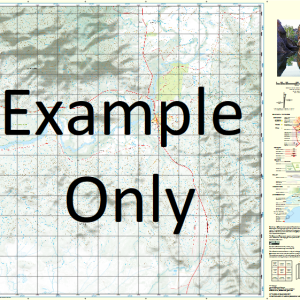
This Topographic Map is produced by the Department of Natural Resources and Mines (DNRM), part of the Queensland Government.
This product is continously updated with the latest information available. New editions are generally published in Oct Nov each year, however minor updates are constantly being included.
DNRM maps are produced automatically by computers, with minimal human oversight; so some duplication of information and occasional minor cartographic inconsistencies can be found.
The PDF version of this can be printed at home or sent to a professional printer for a 100% scale reproduction.
At this scale, 2cm on this map represents 1km on the ground. A standard map (which is square) covers an area of approximately about 25km by 25km, with a contour interval of 10m. This map contains natural and constructed features including road and rail infrastructure, vegetation, hydrography, contours, localities and some administrative boundaries.
Arthurs Hill Camel Rock Capsize Creek Clayton Creek Cleanskin Creek Delta Creek Euliwah Waterhole Gulliver Creek Hillside Knapdale Lady Clayre Creek Mount Maggie Mount Godkin Range Mount Roseby Naraku Ogorilla Creek One Tree Hill Palm Creek Portal Creek Round Mountain Skipness Tea-Tree Creek Devils Own Well Yambani Mount Quamby Teatree Creek Native Companion Well The Long Waterhole
| Title | Paper, Laminated, Pdf Download |
|---|
Related products
-
QLD 7056-44 Online
$12.50 -
QLD 7057-22 For Discount
$12.50 -
QLD 7056-14 Online
$12.50 -
QLD 7057-44 Hot on Sale
$12.50 -
QLD 7057-14 Discount
$12.50