QLD 7052 Online
- Estimated Delivery : Up to 4 business days
- Free Shipping & Returns : On all orders over $200
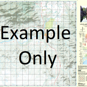
This Topographic Map is produced by the Department of Natural Resources and Mines (DNRM), part of the Queensland Government.
This product is continously updated with the latest information available. New editions are generally published in Oct Nov each year, however minor updates are constantly being included.
DNRM maps are produced automatically by computers, with minimal human oversight; so some duplication of information and occasional minor cartographic inconsistencies can be found.
The PDF version of this can be printed at home or sent to a professional printer for a 100% scale reproduction.
At this scale, 1cm on this map represents 1km on the ground. A standard map (which is square) covers an area of approximately 54km by 54km, with a contour interval of 20m. This map contains natural and constructed features including road and rail infrastructure, vegetation, hydrography, contours, localities and some administrative boundaries.
Dover Lucknow Pollygammon Hamilton Hotel Berkan Dinner Creek Hamilton Hamilton Water Facility Hardoi Horse Creek Juliet Creek Kumba Little Slashes Creek Lucknow Water Facility Min Min Creek Min Min Water Facility Mobur Momedah Creek Nerida Parisian Creek Pollygammon Creek Purwa Robin Creek Sheep Creek Slashes Creek St Lucia Twelve Mile Creek Waiker Warenda Warrior Creek Warum Wilgunya Creek Yilla Min Min Dover Bore Saint Lucia Rising Bore Charters Bore Hamilton Hole Slashes Bore Number Fifteen Bore Horse Creek Bore
| Title | Paper, Laminated, Pdf Download |
|---|
Related products
-
QLD 7057-41 Sale
$12.50 -
QLD 7056-42 Online
$12.50 -
QLD 7057-12 Sale
$12.50 -
QLD 7057-34 For Sale
$12.50 -
QLD 7056-43 For Cheap
$12.50