QLD 7142 Sale
- Estimated Delivery : Up to 4 business days
- Free Shipping & Returns : On all orders over $200
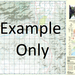
This Topographic Map is produced by the Department of Natural Resources and Mines (DNRM), part of the Queensland Government.
This product is continously updated with the latest information available. New editions are generally published in Oct Nov each year, however minor updates are constantly being included.
DNRM maps are produced automatically by computers, with minimal human oversight; so some duplication of information and occasional minor cartographic inconsistencies can be found.
The PDF version of this can be printed at home or sent to a professional printer for a 100% scale reproduction.
At this scale, 1cm on this map represents 1km on the ground. A standard map (which is square) covers an area of approximately 54km by 54km, with a contour interval of 20m. This map contains natural and constructed features including road and rail infrastructure, vegetation, hydrography, contours, localities and some administrative boundaries.
Barmaroo Boolloo Boolloo Waterhole Cobboocobboomingie Creek Comeroo Comeroo Creek Cooper Cooper Creek Folly Fort Wills Katawulka Creek Maapoo Maapoo Waterhole Marranumbla Milthaminnie Creek Minaritchi Creek Muddlemurra Creek Mudrapunyah Creek Mulgerra Creek Murinny Creek Nappamerry Nappamerry Waterhole Nappapethera Waterhole Oondacurrurrah Creek Oontoo Oontoo Waterhole Parenjelly Creek Poothapathaminny Creek Sandy Creek Tindera Creek Wilson River Boundary Pile Merninie Creek Boundary Hill Merninie Dams Yanpurra Hill Waddi Waddi Yards Murungerie Yards Nappa Merrie Nappa Merri Nappamerrie
| Title | Paper, Laminated, Pdf Download |
|---|
Related products
-
QLD 7057-22 For Discount
$12.50 -
QLD 7057-12 Sale
$12.50 -
QLD 7057-41 Sale
$12.50 -
QLD 7057-32 For Sale
$12.50 -
QLD 7057-43 Online Hot Sale
$12.50