QLD 7151 For Sale
- Estimated Delivery : Up to 4 business days
- Free Shipping & Returns : On all orders over $200
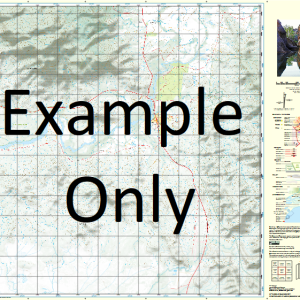
This Topographic Map is produced by the Department of Natural Resources and Mines (DNRM), part of the Queensland Government.
This product is continously updated with the latest information available. New editions are generally published in Oct Nov each year, however minor updates are constantly being included.
DNRM maps are produced automatically by computers, with minimal human oversight; so some duplication of information and occasional minor cartographic inconsistencies can be found.
The PDF version of this can be printed at home or sent to a professional printer for a 100% scale reproduction.
At this scale, 1cm on this map represents 1km on the ground. A standard map (which is square) covers an area of approximately 54km by 54km, with a contour interval of 20m. This map contains natural and constructed features including road and rail infrastructure, vegetation, hydrography, contours, localities and some administrative boundaries.
Lake Billyer Ewart Footscray Gum Creek Hall Lewes Lyon Macartney Creek Macartney Range Mount Macartney Milperoo Creek Mora Seighford Sixteen Mile Creek Twelve Mile Creek Verdon Number Five Bore Whitewood Dam Number Three Bore Cold Creek Tank Tomahawk Tank Range Macartney Cattle Creek Tank Pot Jostler Tank
| Title | Paper, Laminated, Pdf Download |
|---|
Related products
-
QLD 7056-32 Cheap
$12.50 -
QLD 7057-44 Hot on Sale
$12.50 -
QLD 7056-21 For Sale
$12.50 -
QLD 7057-34 For Sale
$12.50 -
QLD 7057-23 Online now
$12.50