QLD 7153 Fashion
- Estimated Delivery : Up to 4 business days
- Free Shipping & Returns : On all orders over $200
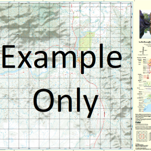
This Topographic Map is produced by the Department of Natural Resources and Mines (DNRM), part of the Queensland Government.
This product is continously updated with the latest information available. New editions are generally published in Oct Nov each year, however minor updates are constantly being included.
DNRM maps are produced automatically by computers, with minimal human oversight; so some duplication of information and occasional minor cartographic inconsistencies can be found.
The PDF version of this can be printed at home or sent to a professional printer for a 100% scale reproduction.
At this scale, 1cm on this map represents 1km on the ground. A standard map (which is square) covers an area of approximately 54km by 54km, with a contour interval of 20m. This map contains natural and constructed features including road and rail infrastructure, vegetation, hydrography, contours, localities and some administrative boundaries.
Brackenburgh Mackunda Downs Denbigh Downs Gnalta Acacia Creek Balthar Basti Boomerang Creek Chanar Finucane Range Glentworth Gumti Limerick Mackunda Mackunda Water Facility Menin Water Facility Pery Saville Six Mile Creek The Brothers Tooleybuck Gap Warburton White Dam Saville Downs Bore Jubilee Bore Saville Creek Bore Acacia Downs Bore Bakers Bore Macunda Downs Trust Bore Mackunda Trust Bore The Brother Toolebuck Gap Montrose Bore Parson Waterhole Menin Downs Bore Carters Range Mackunda Bore
| Title | Paper, Laminated, Pdf Download |
|---|
Related products
-
QLD 7057-32 For Sale
$12.50 -
QLD 7056-43 For Cheap
$12.50 -
QLD 7056-32 Cheap
$12.50 -
QLD 7056-23 Online Sale
$12.50 -
QLD 7057-14 Discount
$12.50