QLD 7157 Discount
- Estimated Delivery : Up to 4 business days
- Free Shipping & Returns : On all orders over $200
This Topographic Map is produced by the Department of Natural Resources and Mines (DNRM), part of the Queensland Government.
This product is continously updated with the latest information available. New editions are generally published in Oct Nov each year, however minor updates are constantly being included.
DNRM maps are produced automatically by computers, with minimal human oversight; so some duplication of information and occasional minor cartographic inconsistencies can be found.
The PDF version of this can be printed at home or sent to a professional printer for a 100% scale reproduction.
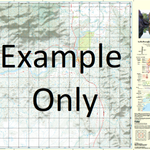
At this scale, 1cm on this map represents 1km on the ground. A standard map (which is square) covers an area of approximately 54km by 54km, with a contour interval of 20m. This map contains natural and constructed features including road and rail infrastructure, vegetation, hydrography, contours, localities and some administrative boundaries.
Cammeray Haddington Dalgonally Cabanda Cremona Downs Viola Cathan Cornwall Caleewa Downs Lands End Werrina Brentham Brigooda Caleewa Cremona Water Facility Eastern Creek Eliza Creek Fullarton River Holy Joe Creek Julia Creek Lake Creek Lara Waterhole McIntyre Waterhole Middle Creek Mount Margaret Creek Myladah Nine Mile Waterhole Oonda Rosie Creek Scrubby Creek Shanty Waterhole Williams River Old Byrimine Waterhole Bellevue Bore Juan Bore McIntyres Waterhole Smith Creek Bore Maiden Camp Bore Cremona Pollys Creek Bore Cockatoo Billabong Middle Creek Bore Lorne East Bore Box Creek Cornwall Downs Bore Mount Margaret Bore Caleewa Downs Bore Homeland Bore Gilliat River McLeods Bore Warner Waterhole Lands End Bore Williams Bore Eureka Waterhole Gilliat Plains Dalgonally Trust Bore Werrina Bore Fergusons Waterhole Galah Waterhole Rocky Bore
| Title | Paper, Laminated, Pdf Download |
|---|
Related products
-
QLD 7057-12 Sale
$12.50 -
QLD 7056-14 Online
$12.50 -
QLD 7057-41 Sale
$12.50 -
QLD 7056-21 For Sale
$12.50 -
QLD 7057-22 For Discount
$12.50