QLD 7160 Supply
- Estimated Delivery : Up to 4 business days
- Free Shipping & Returns : On all orders over $200
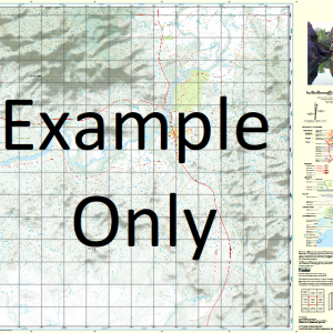
This Topographic Map is produced by the Department of Natural Resources and Mines (DNRM), part of the Queensland Government.
This product is continously updated with the latest information available. New editions are generally published in Oct Nov each year, however minor updates are constantly being included.
DNRM maps are produced automatically by computers, with minimal human oversight; so some duplication of information and occasional minor cartographic inconsistencies can be found.
The PDF version of this can be printed at home or sent to a professional printer for a 100% scale reproduction.
At this scale, 1cm on this map represents 1km on the ground. A standard map (which is square) covers an area of approximately 54km by 54km, with a contour interval of 20m. This map contains natural and constructed features including road and rail infrastructure, vegetation, hydrography, contours, localities and some administrative boundaries.
Bailey Waterhole Buffalo Creek Cammo Clarecourt Cochrane Cross Crows Nest Waterhole Cumnor Forest Creek Halsbury Iffley Iffley Lagoon May Lagoon Miecolan Muggera Waterhole Munjuro Creek Policemans Waterhole Racecourse Lagoon Seven Mile Waterhole Skew Hole Spear Creek Stock Route Creek Three Mile Waterhole Twelve Mile Waterhole Twenty Mile Waterhole Vena Park Welney Wilsons Lagoon Yarnton Fielding Moonbi Wilson Lagoon Six Mile Creek Plum Tree Creek Large Anabranch Skews Waterhole Snake Waterhole
| Title | Paper, Laminated, Pdf Download |
|---|
Related products
-
QLD 7057-13 Online Hot Sale
$12.50 -
QLD 7057-42 Sale
$12.50 -
QLD 7056-22 Supply
$12.50 -
QLD 7057-12 Sale
$12.50 -
QLD 7056-41 Discount
$12.50