QLD 7255 Online Sale
- Estimated Delivery : Up to 4 business days
- Free Shipping & Returns : On all orders over $200
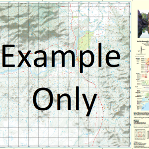
This Topographic Map is produced by the Department of Natural Resources and Mines (DNRM), part of the Queensland Government.
This product is continously updated with the latest information available. New editions are generally published in Oct Nov each year, however minor updates are constantly being included.
DNRM maps are produced automatically by computers, with minimal human oversight; so some duplication of information and occasional minor cartographic inconsistencies can be found.
The PDF version of this can be printed at home or sent to a professional printer for a 100% scale reproduction.
At this scale, 1cm on this map represents 1km on the ground. A standard map (which is square) covers an area of approximately 54km by 54km, with a contour interval of 20m. This map contains natural and constructed features including road and rail infrastructure, vegetation, hydrography, contours, localities and some administrative boundaries.
Angus Downs Wolseley Downs Hampden Downs Mimong Coolreagh Delacourt Kulwin Eulolo Glenbervie Redland Park Spreyton Caradon The Cottage Chance Creek Cooglum Coomarra Water Facility Dillivard Hampden Water Facility Jackton Kulwin Water Facility Mimong Water Facility Prahran Rhyl Creek Spreyton Water Facility Toorak White Wilmitha Creek Woorengen Kynuna McKinlay Shire Cairo Bore Wild Duck Bore Toorak Dam Mi Mi Dam Dickey Creek Bore Dickeys Creek Bore Kates Bore Stud Camp Bore Glenbervie Creek Near Station Bore Glen Robin Bore Caradon Bore Roorkee Bore Coomarra Bore Gilliat Creek Jackton Bore Poimena Bore Stock Route Bore Rosemead Bore
| Title | Paper, Laminated, Pdf Download |
|---|
Related products
-
QLD 7057-44 Hot on Sale
$12.50 -
QLD 7057-31 For Sale
$12.50 -
QLD 7057-43 Online Hot Sale
$12.50 -
QLD 7057-23 Online now
$12.50 -
QLD 7057-12 Sale
$12.50